Started in 2011
The Peregrini Lindisfarne Landscape Partnership Scheme received initial approval in November 2011 from the Heritage Lottery Fund.
A Project Development Officer was appointed to develop the Partnership, consult widely with local people, groups and organisations and prepare a three-year programme of activity.
The Peregrini Landscape Action Plan was submitted in January 2013. The Scheme however was re-profiled between March to June 2014. The final Peregrini LCAP can be found here.
Embracing the coastal plain
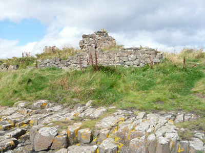
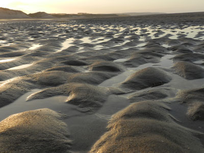
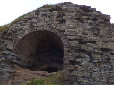
The Peregrini landscape embraces the coastal plain including the tidal Holy Island of Lindisfarne and the seascape area along the coast and encircling the island. It stretches as far north to Scremeston and south to Budle Point.
Inland it falls east of Belford, the Historic Coaching Town. The area encompasses the Lindisfarne National Nature Reserve and lies within the Northumberland Coast Area of Outstanding Natural Beauty, Northumberland Heritage Coast and the Berwickshire and North Northumberland European Marine Site.