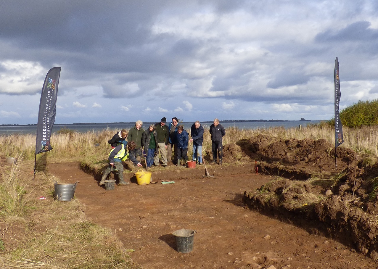
Last week, our Community Archaeology volunteers braved the autumn weather to investigate the site of a possible fort at the wonderfully named Common Slap, south of Fenham.
This defended settlement was discovered in 1996 through the analysis of aerial photographs of the coast and no previous archaeological investigation has taken place here. Similar sites in Northumberland date from the Iron Age, meaning the settlement at Common Slap was probably in use at some point between 800 BC to the 1st century AD.
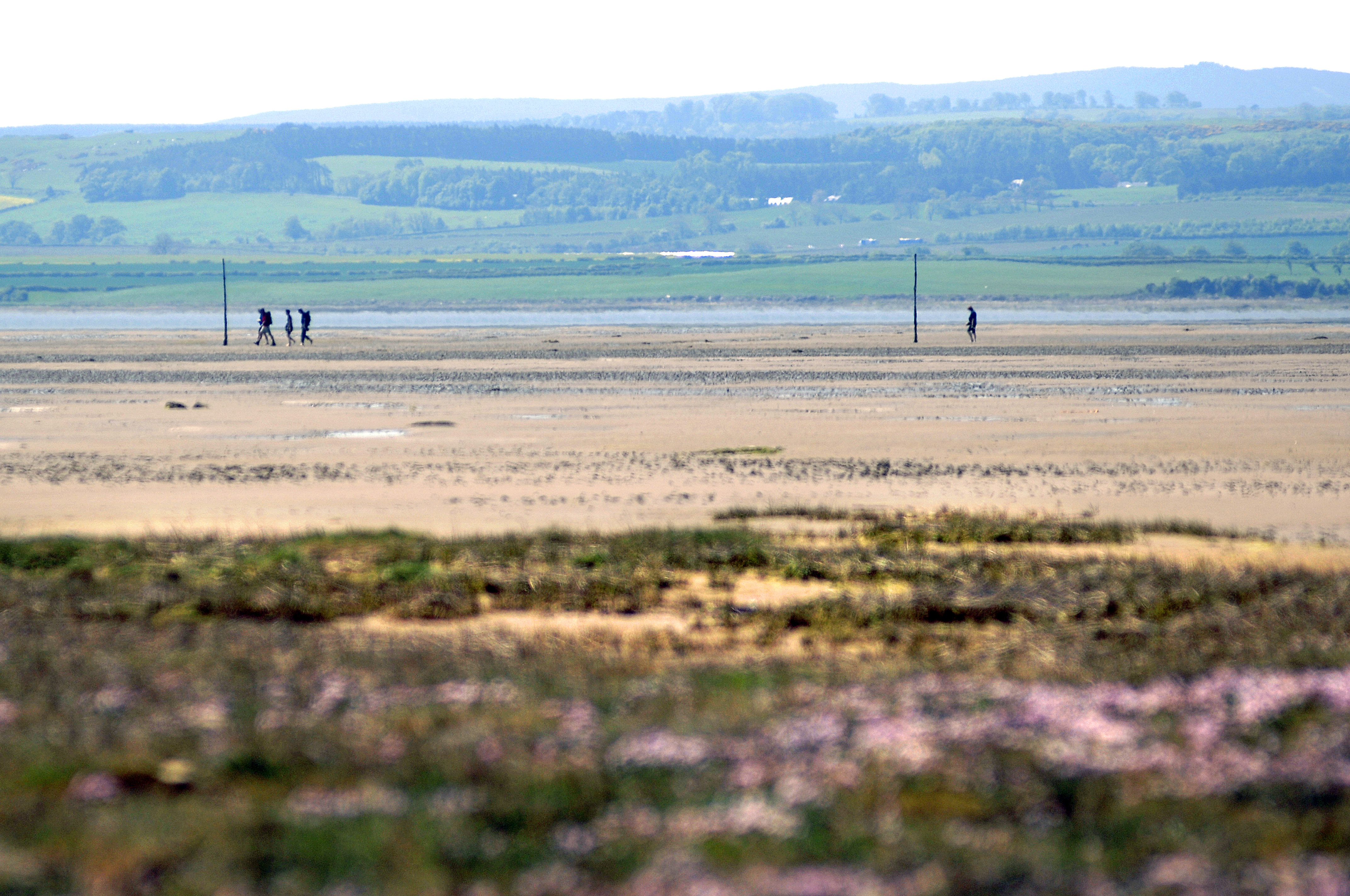
The site is located on slight eminence to the south of Fenham and has a fantastic aspect over the Fenham Flats and Holy Island Sands. The aerial photos show that the fort was defined by two broad ditches, that enclose an area some 60m across. The shoreline here is a steep cliff and it is likely that coastal erosion has impacted on the site, with the eastern part of the settlement already lost to the sea. It is unknown as to where the Iron Age coastline was and it is possible that it formed part of the defences.
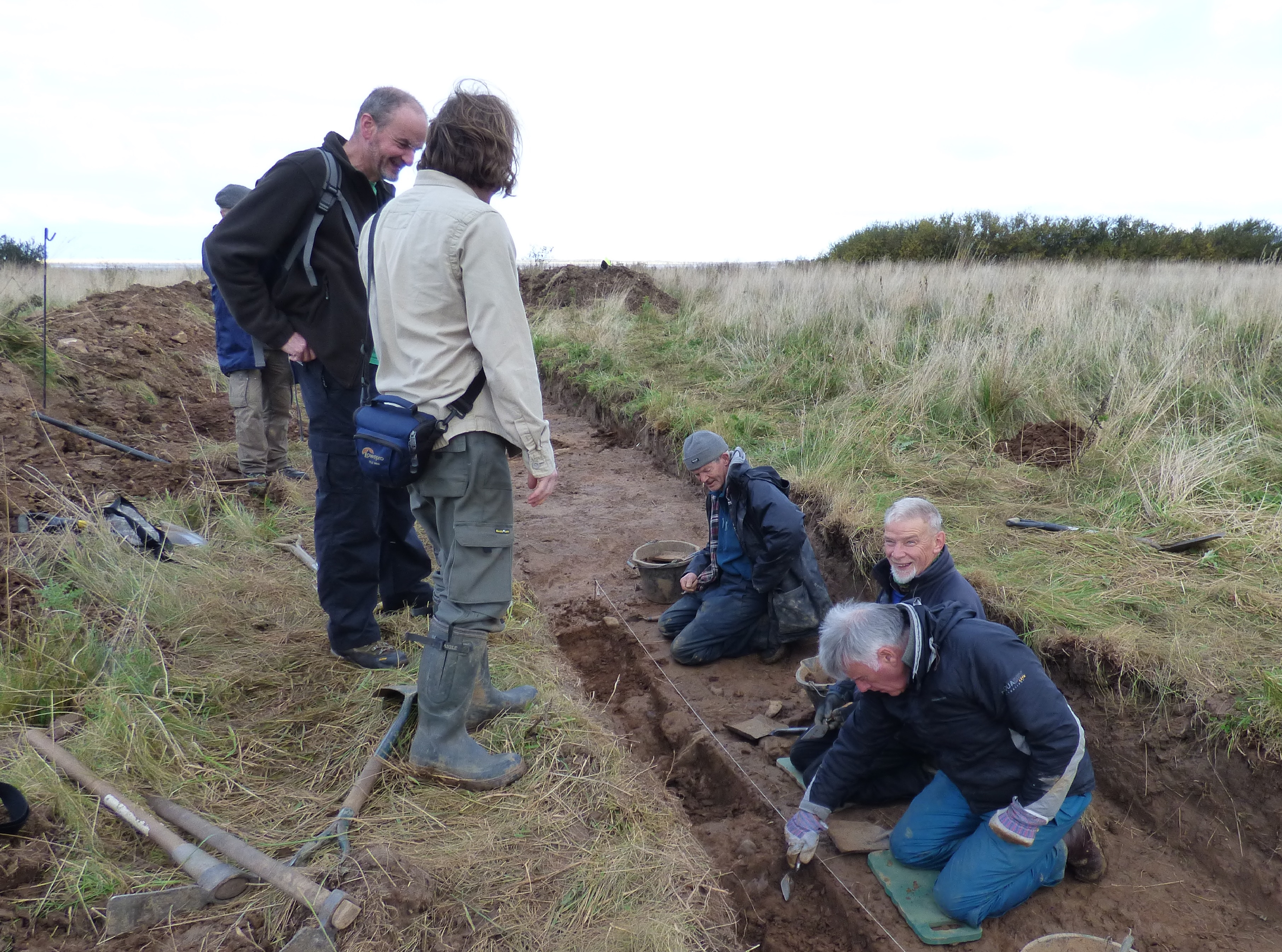
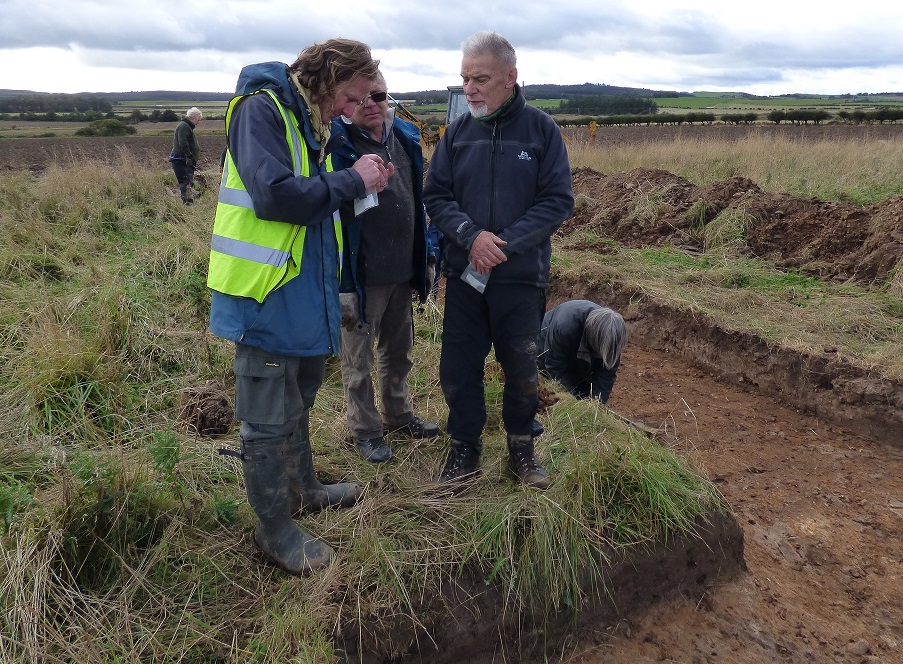
The team, led by Richard Carlton and Marc Johnstone of the Archaeological Practice, trial trenched the ditches and interior of the fort. Unfortunately little was found inside the fort but one of the ditches was identified and survived to some depth, along with a possible slot for a palisade. Organic material was recovered from the ditch fills so there’s a chance that we’ll be able to date the settlement, as well as beginning to piece together what the settlement might have looked like over two millennia ago.
October 2016’s dig was very much a trial investigation to characterise the site. There may be future opportunities to reveal more in 2017 as part of the Peregrini Lindisfarne Community Archaeology Project. If you’d like to get involved in the fantastic excavations planned for 2017, please contact the Archaeological Practice at lindisfarne@archaeologicalpractice.co.uk. And, of course, we’ll keep you up to date with the post-ex results from Common Slap fort as they come in!
Common Slap, by the way, may mean the 'road to the common' - slap is apparently an old term for a routeway.
Other Photos